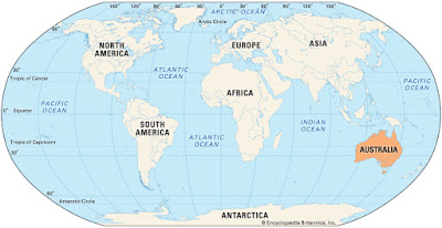
To many people, Australia is a small island somewhere off the coast of South America. It is, indeed, officially an island, the world's largest. However, it also officially a continent, the world's smallest; and it is also a country, with 25 million people.
Because it is a single country, there are things that Australians can do with their continent that no-one else can do with their own homeland. That is, even though it is roughly the same size as the contiguous continental USA, to get something done you only need 25 million people to agree on it, not 325 million — believe me, this is much easier!
If you now re-read this blog post's title, you will see what this has to do with wine. Yes, that's right — during 2018 they decided to use aerial imagery to map every single row of vines on their continent, comprising all 146,128 ha (361,090 acres) of vineyard area, scattered around the 7.7 million sq.km (2.7 million sq.mil) of space available.
This is called the National Vineyard Scan 2018, and is scheduled to be repeated in 2019 and 2020. This is an entirely automatic data-gathering exercise, designed by Consilium Technology, to geolocate all wine-grape vineyards in Australia. The high-resolution satellite images are scanned using an artificial intelligence computer algorithm, which has been trained to detect vineyards automatically. The accuracy of the system is reported to be at least 95%, based on test surveys. [Actually, the system scans only c. 5.1 million ha of the continent, because much of Australia is vineyard-free desert or semi-desert.]
The survey is funded by Wine Australia, the Australian Government statutory authority overseeing the wine industry — this organization is “funded by by grape-growers and winemakers through levies and user-pays charges, and by the Australian Government, which provides matching funding for research, development and extension investments”. This means that the detailed survey results are available only to the levy payers, via the GAIA (Geospace Artificial Intelligence for Agriculture) website.
You can download the full report for 2018 (with some pretty satellite images), or its much shorter summary, from here. In the meantime, above is the official infographic, summarizing the outcome for 2018. This should make wine-industry bodies on the other (multinational) continents green with envy.


No comments:
Post a Comment